Trail Mountain Fire
Start Date: June 4, 2018 Size: 13,710 acres
Percent Contained: 17%
Helicopters: 8 Engines: 23
Crews: 15 Total Personnel: 598
|
|
|
Summary: Today’s heavy cloud cover and higher humidity helped subdue fire activity throughout the day and lessened fire spread in the upper Mill Fork drainage to the north and west. In addition to decreased fire activity, containment increased to 17 percent. Higher humidity and periodic rain showers are to continue throughout Sunday. As humidity begins to decrease on Monday and predicted winds increase up to 25 miles per hour from the southwest, fire activity will likely increase once again.
Highway 31 is projected to open at 7 AM tomorrow morning provided altering circumstances do not arise. It is requested, however, that drivers use caution and avoid the fire area if possible for their safety as well as firefighter safety. Equipment will be working and patrolling throughout Huntington Canyon.
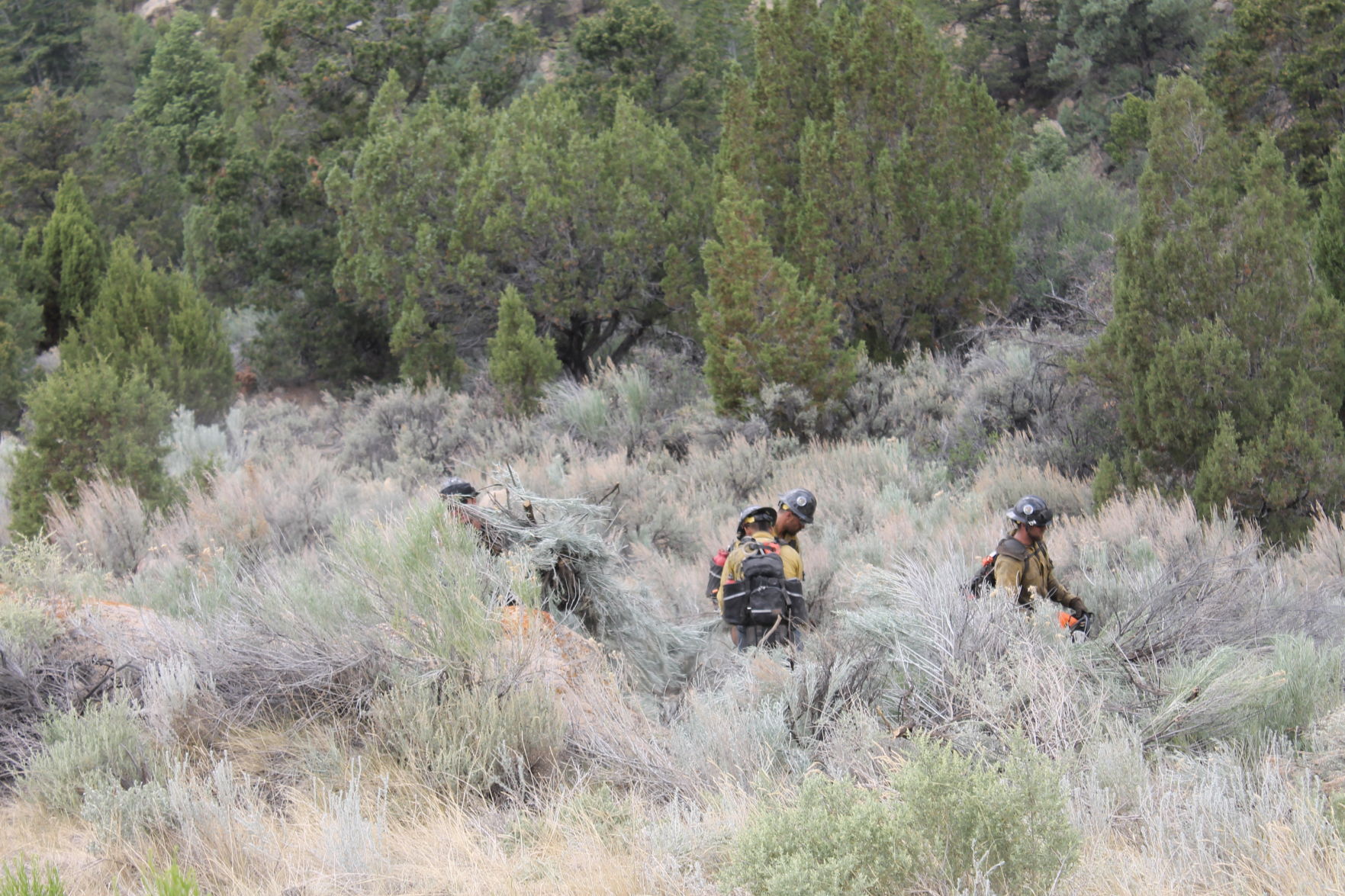
Due to hazardous, steep conditions as well as minimal fire movement, the fire area in Mill Fork and Deer Creek will be in patrol status. Containment has been attained on the majority of the southern perimeter of the fire, and Crandall Mine has been equipped with sprinklers, vegetation has been reduced, and fireline prepared in the event the fire reaches that location. Firefighters will continue to work toward containment and heat reduction in unison with increased humidity and precipitation through Sunday.
Closures: The Manti-La Sal National Forest has an area closure in effect around the fire. See a map and description of the area at: https://inciweb.nwcg.gov/incident/maps/5830/. The campgrounds between the Huntington Power Plant and mile post 18.5 of Highway 31 are also closed.

