The Burned Area Emergency Response team for the Trail Mountain fire scar has announced its findings and recommendations. The team has identified the values (resources) at risk of damage or loss from threats posed by landscape changes caused by the fire. Implementation of treatments to reduce risks has begun and the Forest Service has provided emergency funding for treatments on the Manti-La Sal National Forest.
The report indicates there is an 80-100 percent chance of debris flows starting in the burned area in response to short duration, high intensity rainstorms if emergency treatments are not implemented.
The team’s objectives are to identify values (resources) at risk from post-fire events such as flooding and debris flows; to identify cost effective treatments with a high likelihood of success that can help reduce those risks; implement treatments before the first damaging storms that threaten life, property, cultural or natural resources; and then monitor the treatments’ effectiveness.
Human life, Forest roads and trails, soils, native plants, and archeological assets were found to be at Very High risk due to the threat of erosion, flooding and debris flows. There is a High risk to people from the threat of falling trees, rocks and other debris and a High Risk to waters on the Manti-La Sal National Forest used for power generation. Campgrounds face an Intermediate Risk, as do 2 miles of roads on the top of East Mountain.
In recommending treatments, the team had several objectives.
1. Mitigate and protect, to the extent possible, threats to personal injury or human life of forest visitors and Forest Service employees by raising awareness through posting hazard warning signs on roads and trails, improving stream crossings, and communicating hazard of flooding, debris flows, and rock falls. Provide safe access to the burned area for personnel implementing authorized BAER response actions and communicate threats to cooperating agencies.
2. Protect or minimize damage to National Forest System (NFS) investments in road and trail infrastructure by installing drainage features capable of withstanding potential increased stream flows and/or debris flows. Minimize damage to key NFS travel routes.
3. Protect or mitigate potential post-fire impacts to critical natural resources within the burned area. Implement treatments to reduce risks to soil productivity, hydrologic function, and municipal and power supply waters by stabilizing hillslopes, road/prism, and trail treads. Implement treatments that minimize threats to native and naturalized ecosystems by minimizing the potential for expansion of non-native invasive species (NNIS) into the burned area; minimize expected invasion of NNIS within and adjacent to the area where soils and vegetation were disturbed as a result of fire suppression activities.
4. Mitigate potential post-fire impacts to cultural resources to prevent irretrievable loss of archaeological assets.
5. Evaluate authorized BAER treatments and existing infrastructure to determine effectiveness in post-fire flow conditions. Monitor weeds for effectiveness of BAER treatments and to identify need for future treatments.
6. Assist cooperators, other local, State, and Federal agencies with the interpretation of the assessment findings to identify and address potential post-fire impacts to communities and residences, domestic water supplies, public utilities (including power lines, roads, and other infrastructure).
The BAER team recommended emergency treatments that include aerial mulching; early detection and rapid response to new weed infestations; initial road drainage/prism protection to include protection of road infrastructure and downstream water quality; interim road drainage protection in high risk drainages in Huntington Canyon along SR-31; trail drainage/tread protection; road closure devices; dispersed campsite closure devices; storm inspection and response; and implementation coordination.
BAER Team completes report on Trail Mountain burn area

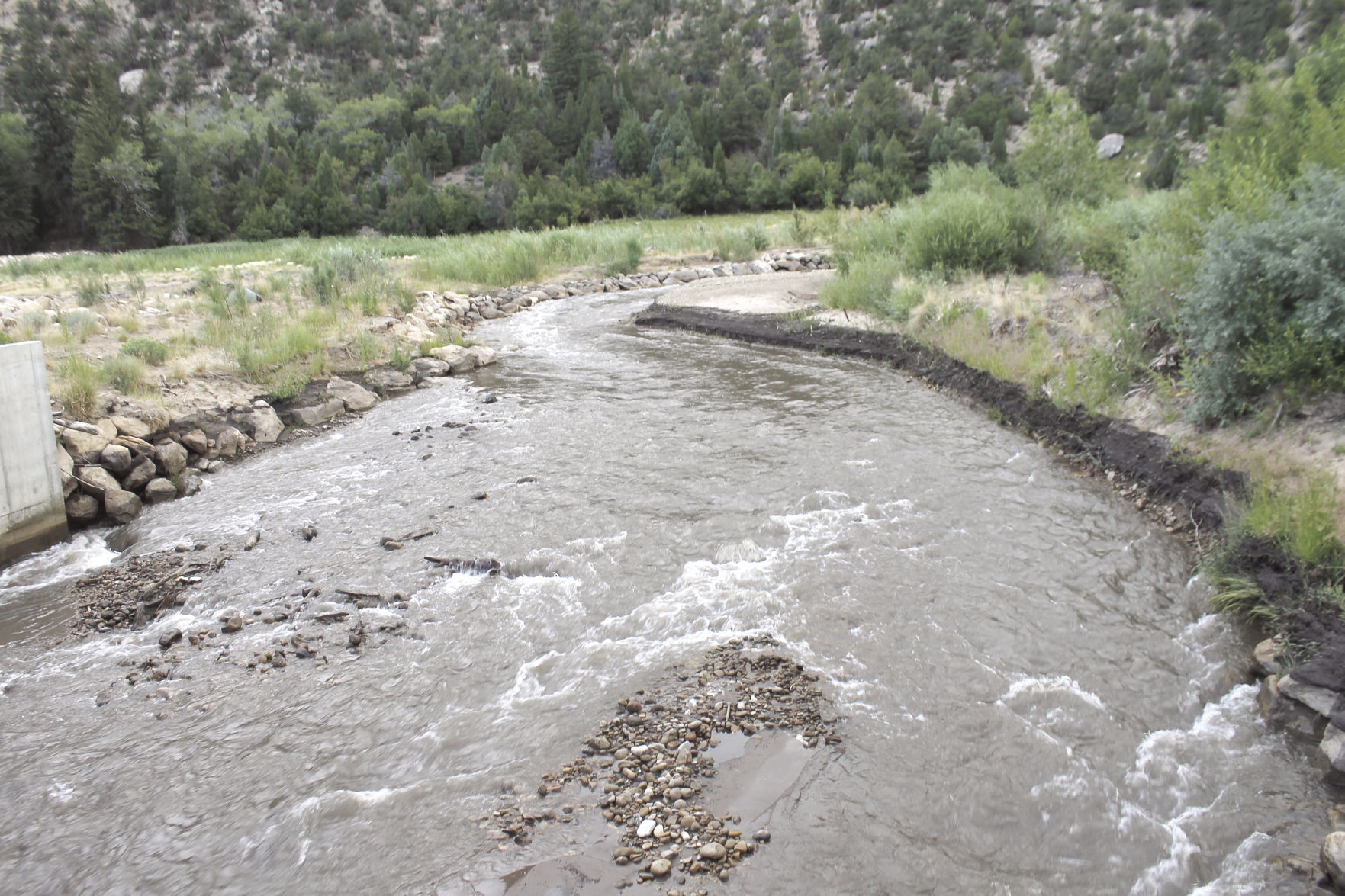
The rain over the weekend caused the creek water to turn dark. Patsy Stoddard, Editor
